What is ForestVISION?
ForestVision is an innovative project dedicated to the intelligent monitoring, measurement, and assessment of forested areas. It leverages advanced technologies to support early warning systems, sustainable forest management, and ecological preservation—focusing especially on the diverse forest species of the Iberian Peninsula.
Its mission is to enhance natural risk prevention, improve resilience to climate change, and optimize the sustainable management of natural resources.
ForestVISION integrates artificial intelligence, computer vision, and multi-sensor geospatial data to classify forest species and detect anomalies such as drought stress, nutrient deficiencies, diseases, invasive plants, or illegal deforestation. The system processes data from multiple sources, including:
- Satellite imagery (RGB, multispectral)
- Drone imagery (RGB, hyperspectral)
- Public ground sensor datasets (e.g., temperature, humidity)
By merging these sources, the project provides reliable, continuous insight into forest conditions and helps stakeholders make informed, timely decisions.
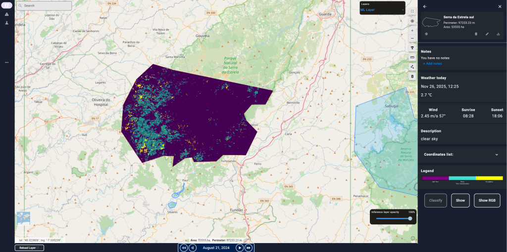
Pilot deployments were run across key forest regions in the Iberian Peninsula, including Beiras e Serra da Estrela and Beira Baixa in Portugal, and Extremadura in Spain, validating the system in diverse ecological and operational contexts
Remote Monitoring
Continuous, high-resolution observation of forest plots, including:
- Species composition and distribution (e.g. Eucalyptus and Pines count)
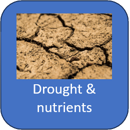
- Drought and nutrient stress
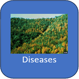
- Pests and diseases detectable through multispectral imaging
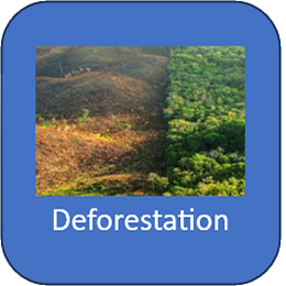
- Illegal or planned deforestation
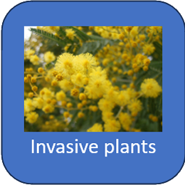
- Spread or risk of invasive species
Regular satellite acquisitions enable consistent tracking of forest evolution.
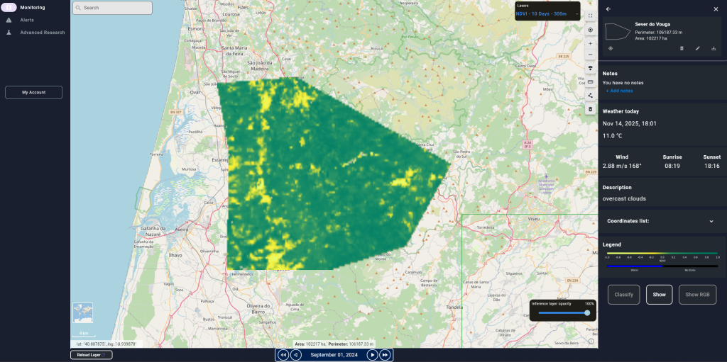
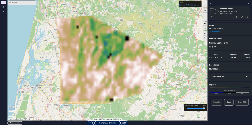
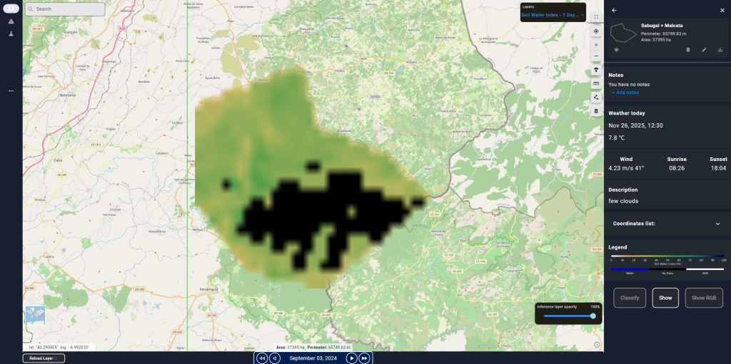
List of Available Indexes
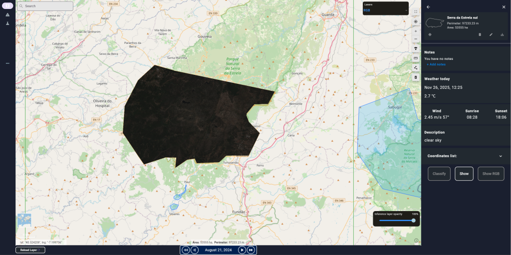
RGB – Spatial Resolution: 10m
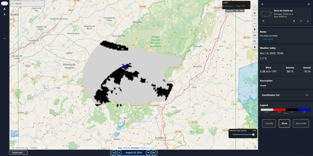
Burnt Area 1 Day – Spatial Resolution: 300m
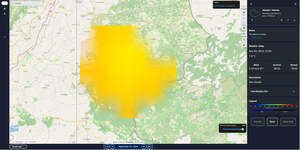
Land Surface Temperature 10 Days – Spatial Resolution: 5km
NDVI 10 Days – Spatial Resolution: 300m
Surface Soil Moisture 1 Day – Spatial Resolution: 1km
Soil Water Index 1 Day – Spatial Resolution: 1km
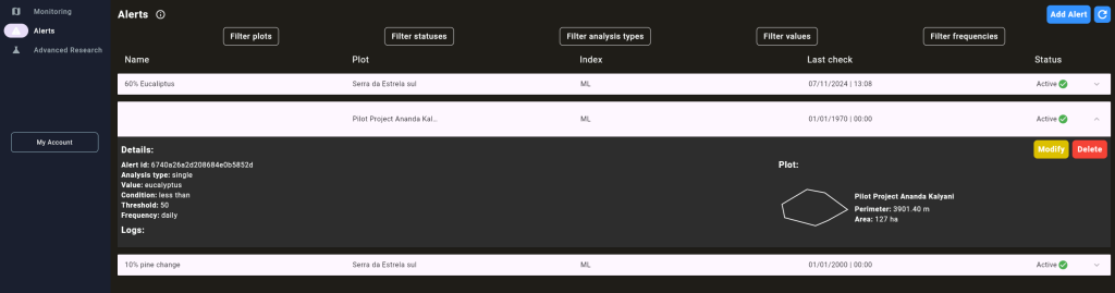
Alerts & Notifications
- Custom alerts for monitored areas
- Automated notifications based on newly processed satellite data
- Continuous reporting on detected anomalies and trends
Operational Management
- User groups for team coordination
- Plot assignment and multi-alert dispatch
- Remote planning of forestry operations
- Alignment of remote sensing insights with field team
Machine Leanring engine
- Advanced ML models for species classification (e.g. Eucalyptus and Pines count) and forest condition assessment
- Monitoring of multiple use cases (e.g. invasive species, drought, disease risk)
- Periodic analytical reports summarizing forest health and evolution

Benefits
Time Savings
- Automated, periodic reporting
- Up-to-date information accessible from anywhere
- Timely detection of anomalies and changes
Cost Reduction
- Lower monitoring costs thanks to remote sensing
- Early alerts to mitigate losses from forest damage
- Cost forecasting based on historical and current data
Operational Efficiency
- Unified view of forest conditions
- Latest satellite images always available
- Easy comparison of before/after events
Environment Sustainability
- Supports reduction of deforestation impacts
- Facilitates detection of illegal logging
- Enables early spotting of fires or hazardous conditions
Partners:
Sponsors:
In collaboration with: